National—
On March 10th, 2024, the Thai Meteorological Department forecasted weather conditions for the next 24 hours.
In the next 24 hours, high-pressure or cold air mass from China will cover northeast Thailand and the South China Sea. Southern and southeastern winds bring moisture from the Gulf of Thailand and the South China Sea to the lower north, northeast, central, and east Thailand, causing hot seasonal storms.
These storms may include thunderstorms, gusty winds in some areas, and possible lightning strikes.
Therefore, citizens are advised to be cautious of the dangers from hot season storms by avoiding being in open areas. Farmers should prepare and be aware of potential damage to agricultural products and risks to livestock.
For southeast and south Thailand winds blowing over the Gulf of Thailand, the southern region, and the Andaman Sea, are getting stronger, resulting in increased rainfall in the south. The wind waves in the lower Gulf of Thailand are moderate, with waves reaching 1 to 2 meters. In areas with thunderstorms, waves could exceed 2 meters.
Sailors in these areas are advised to navigate with caution and avoid sailing in areas with thunderstorms.
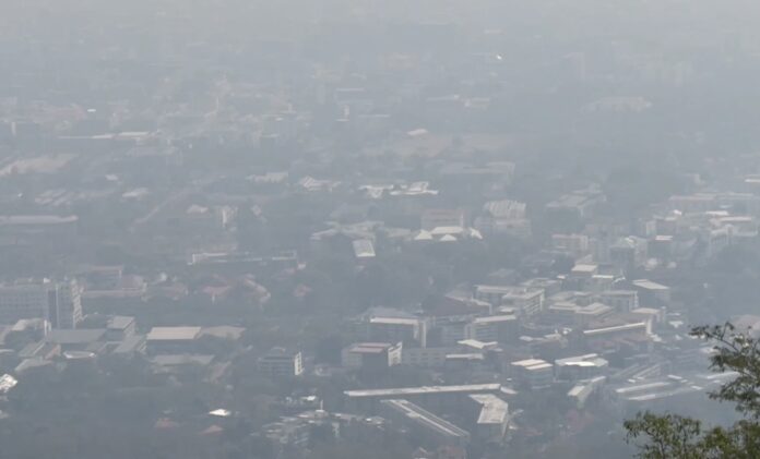
PM 2.5 dust levels: In the north, northeast, and upper central Thailand, there is a moderate to high accumulation of dust/smog, as the weak winds cover the area leading to poor air circulation.


